

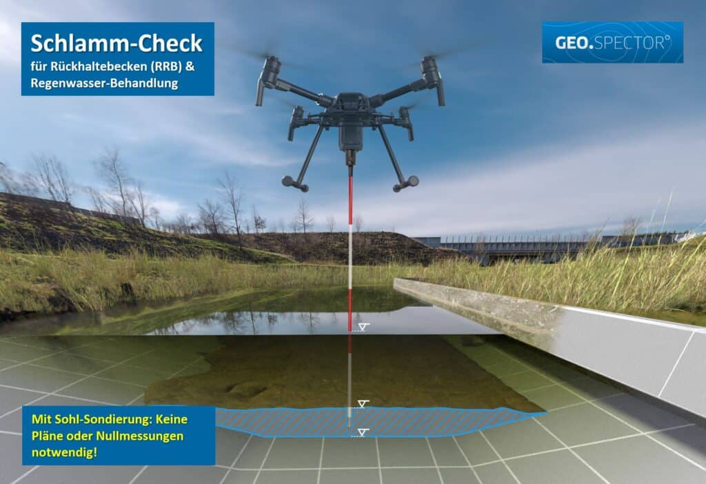
To ensure safe operation, rainwater retention systems require a minimum capacity, which decreases over time due to the entry of sludge and sediment. Continuous monitoring is therefore necessary, which has so far been very time-consuming in the case of systems in permanent backwater (probing with inflatable boats, jetties) and has therefore usually only been carried out selectively at a few points.
In Germany alone, there are more than 10,000 such systems, resulting in maintenance costs that have so far been virtually unaffordable. Now, with Geospector DTS Acqua, we have set out to offer an economical and accurate alternative for the first time.
With Geospector DTS Acqua, the depth model of an average retention basin can be captured over the entire area within a very short time. The subsequent comparison with the target profiles (geometric basins or near-natural ponds) then provides the reduction volume via the areal distribution of sludge and sediment thicknesses.
For the first time, we can use our patented method to probe areas that are difficult to access from the air right down to the floor, so that we are not dependent on existing zero measurements or plans for floor reconstruction.
With this reliable basis for decision-making, the costs of renovation and cleaning measures can be minimized and ideally even avoided completely.
A drone carrying our patented Geospector DTS Acqua sensor system captures the entire water surface and probes down to the solid bed. Comparing the result with the design profile of the basin yields the area-wide distribution of sludge thickness and the resulting loss of storage volume.
No. Because we capture the bed directly, we do not rely on existing plans or earlier surveys.
Typically about two hours. No boats, jetties, cranes or additional access routes are needed.
Yes. The survey is carried out from the air, including areas that cannot be reached from the bank or by boat.
A survey report with the area-wide sludge and sediment distribution and the loss of storage volume, georeferenced with GPS-RTK. You will find examples below under “Examples of measurement protocols”.
For standard applications, our recommended price concept is available for download. For special facilities, we will be happy to prepare an individual quote.
We offer a recommended price concept for standard applications for sediment determination:

