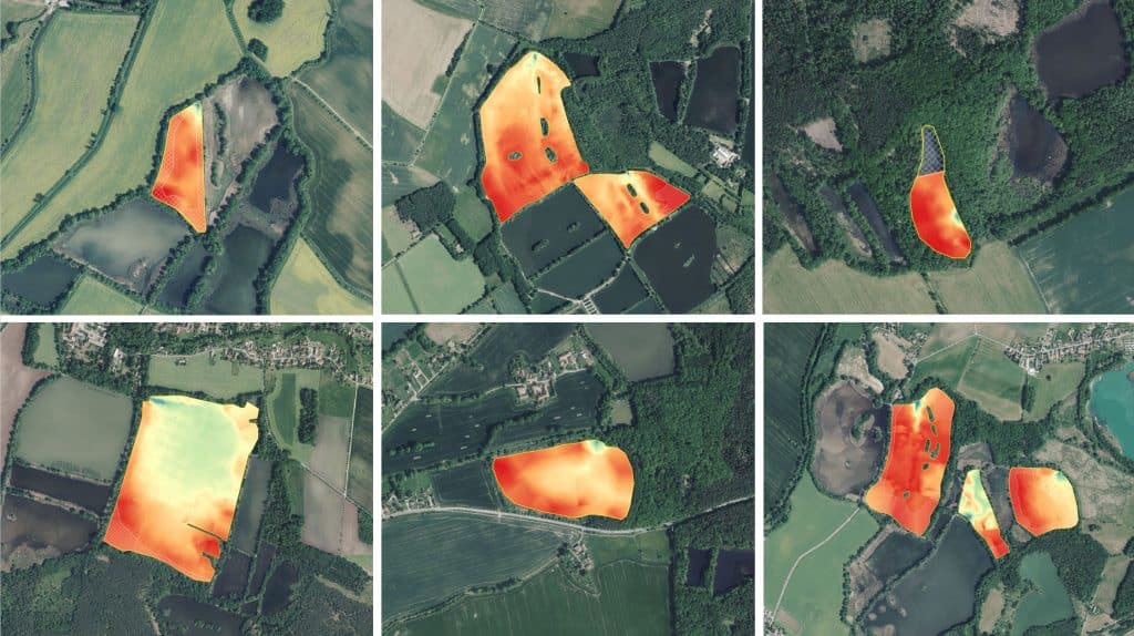
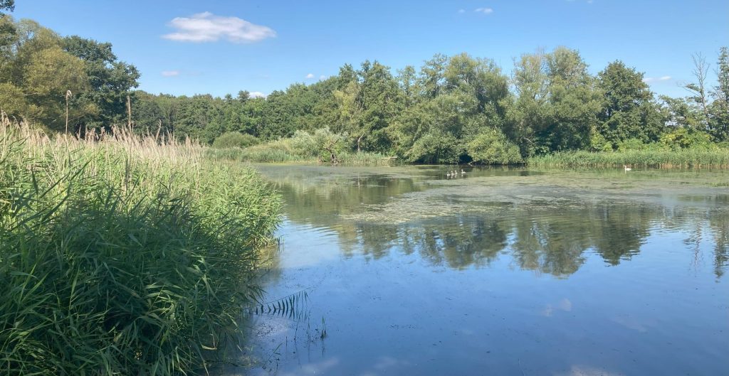
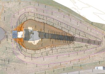
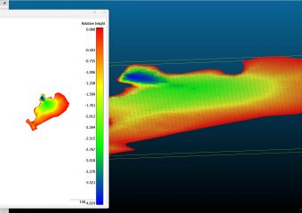
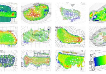
Various methods for determining the water volume of pond systems are to be tested as part of a large-scale study.
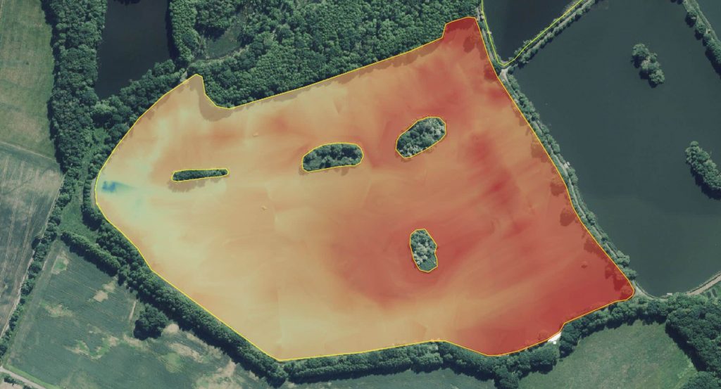
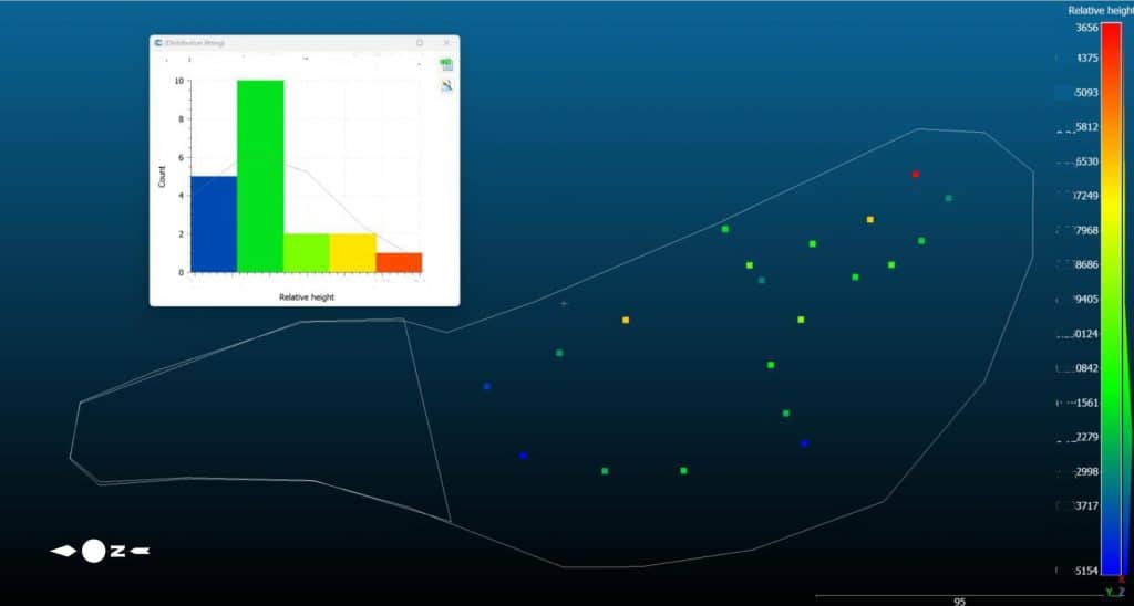
Our task here was the bathymetric measurement of the ponds in a filled state.
Here, Geospector DTS Acqua was able to demonstrate its capabilities with the air- and water-based sensor platforms.
Delivered products:
-
- Project report and associated photo documentation
- Depth models / DEM of the individual ponds as GeoTiff (UTM33, DHHN16)
- QGIS file with referenced layers (maps, orthophotos, DEM, etc.) for convenient further processing
